
Hiking
Lake Okeechobee Scenic Trail
Part of the official Florida Trail, the Lake Okeechobee Scenic Trail (LOST) extends 109 miles atop the Herbert Hoover Dike around Lake Okeechobee.
Managed by the Army Corps of Engineers – which is actively reconstructing portions of the dike-- some sections of the trail are closed. However, a number of trailheads along the LOST on the western side of Lake Okeechobee in gloriously natural Glades County offer the intrepid hiker or bicyclist alternative routes around the construction. Several of those trailheads also offer restrooms, restaurants, convenience stores and lodging to those willing to brave the trail while it is being repaired.
Alvin Ward Park
Alvin Ward Park, south of the Caloosahatchee River, offers access to the LOST, whether hiking northwest from Moore Haven to Buckhead Ridge or southwest to Liberty Point and Clewiston on the south east.
The portion of the trail which begins at Indian Prairie, just outside Lakeport to Okee-Tantie, on the Kissimmee River in Okeechobee is 10.4 miles in length and offers views of the vast marshes that buffer Buckhead Ridge, leading to the mouth of the Kissimmee River
The Lakeport to Indian Prairie segment of the LOST is 11.9 miles. Glades County will be constructing a 20 ft by 20 ft. Observation Tower at Harney Pond Canal for birders and others wishing to catch a better look of the littoral zone of the lake, while FDOT will begin construction of a pedestrian bridge over Harney Pond canal linking two sections of the dike as it goes through Lakeport in 2021.
For those who prefer to travel southeast, the Moore Haven to segment is 11.8 miles and takes the hiker past Uncle Joe’s Fish Camp at Liberty Point which also a convenience store for those seeking refreshments along the way. You’ll want to arrive early to enjoy the spectacular view of the sunrise as the sun comes up over the Big O.
Fort Center Trail
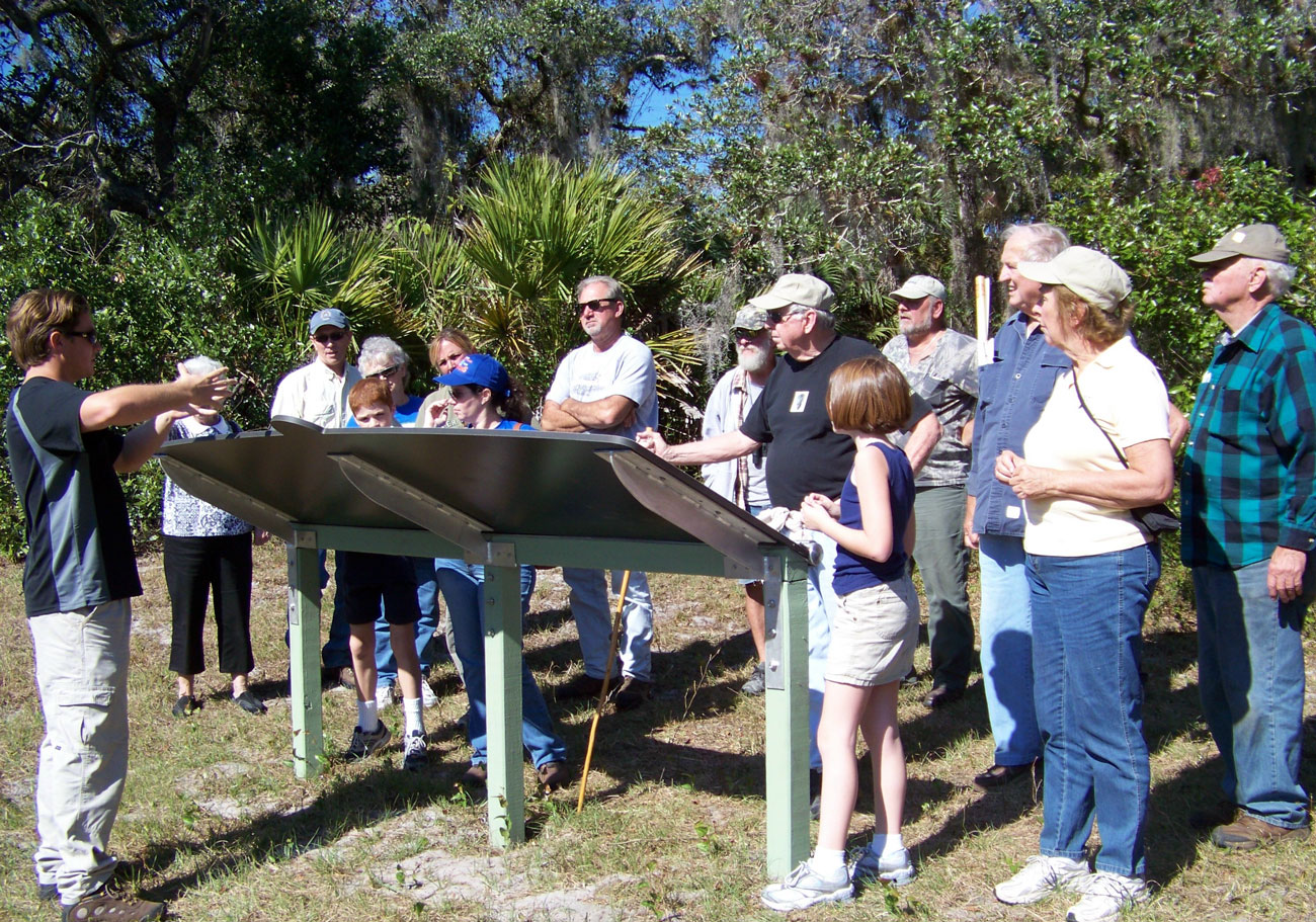
For those who enjoy history mixed with archaeology there may be no better hiking experience than the five-mile Fort Center Trail at the eastern Fisheating Creek Wildlife Management Area just outside Lakeport at 3010 Banana Grove Rd., Moore Haven, FL 33471.
Dubbed Fort Center, when in 1835, during the Second Seminole War, a fort was built out of cabbage palm logs on the high ground in the Fisheating Creek floodplain as it enters Lake Okeechobee and named after Lieutenant J.P. Center. The trail is blazed in two parts—a linear 3.5 mile round-trip on a dirt road (with trail markers to guide you), and a 1-mile interpretive loop through the cabbage palm and oak hammock.
- Parking is available at this trailhead, and you should start your hike at the first one—there’s a restroom, a large kiosk with information about the trail, and the markers lead you across the road to an observation deck overlooking a wet prairie.
- As the trail leaves the observation deck, it turns right (west) and heads past the second trailhead. Follow the gravel road through a gate around the FWC manager’s house and work area. It continues into an open prairie with a large slough on your left.
- Along this open stretch you encounter shaded benches with detailed interpretive information presented on one side.
- After 2.4 miles the nature trail emerges at an intersection with the main trail. Continue straight ahead to enjoy a sweeping view of Fisheating Creek off to your left from a high embankment, once the ancient village at Fort Center. This started as a settlement of what archaeologists call the Belle Glade people, dating back to 1000 B.C. It is thought that these people, who dug ditches and built mounds to live on above the creek’s floodplain, are believed to have been the first to cultivate corn in the Americas.
- Watch for the final side trail on your left, leading to the largest of the mounds. The interpretive panels here tell the entire history of native occupation of this settlement, which ended sometime in the 1700s. The Fort Center complex has been of great interest to archaeologists for more than a century. Well-documented artifacts removed from the complex – including pottery, tools, bones, carvings, and pollen – are displayed at the Florida Museum of Natural History in Gainesville and at the South Florida Museum in Bradenton, in the special Tallant Collection gallery.
Florida Fish & Wildlife is the manager for this property. Call their Okeechobee area office to be sure the gate is open. 863-462-5190
Ortona Indian Mound Park
The Ortona Indian Mounds Park, 1060 Chiaha Ln, Moore Haven, FL 33471, off SR 78W, is all that remains of a once-mighty village along the floodplain of the Caloosahatchee River, surrounded by the remains of the original scrub habitat, and live oaks. Park your car and walk into the park, where you’ll see restrooms on your left. Turn right, past a playground, and look for a large kiosk in the distance, which offers several panels presenting the history and significance of this archaeological site.
From the interpretive display, a boardwalk leads uphill into an oak hammock. Although the boardwalk is currently closed, pending repairs, the trail continues as a broad grassy path through a thicket of overgrowth the scrub plants, before emerging at a large pond, believed to have been created by the Calusa peoples who lived here more than 3000 years ago and created a complex series of tall mounds above the marshlands and a system of canals for transportation. The core of the complex was this high pine island and oak scrub, and it’s here that the greatest amount of evidence has been found of their lives, including pottery shards and seeds from vegetables grown. As the trail winds its way around the pond, there are mounds to the right.
At 0.4 mile, you reach a scenic high spot and the trail continues crossing one of the ancient canoe canals and you encounter another long, linear mound on the left, about five feet high. The trail starts to loop around and comes to an abrupt end at the steep-sided canal. Return along the outlined path back to the picnic shelter.
On your return walk, look for an opening in the oaks on the left and you’ll come to a large grassy clearing at 0.7 mile. Continue straight into the main portion of the park, where there is a large picnic shelter overlooking the pond. The historic artifacts and buildings you see are used during the annual Ortona Cane Grinding Festival, held the first Saturday in February each year. Near the sugar cane press, you see the “Nature Trail” sign off to the left, leading back to the primary interpretive kiosk. Continue past the press and picnic shelters and turn left at the next large opening between the oaks to exit to the parking area.
While less than a mile long, the Ortona Indian Mound Trail, offers residents and tourists the opportunity to walk in the footsteps of the Ortona people, a group of aboriginal Calusa Indians determined to be related to the Hopewell Indians, view some of their burial and other mounds and the extensive canal system they built among the hammocks and scrub. For more information phone (863) 946-0300.
ADD PAGE
As you navigate our website, you can use the “Add Page to Report” button to add any page or property to a custom report that you can print out or save.